Tenerife's must-sees fit into six areas: Teide, Anaga, La Laguna and Santa Cruz, the Orotava valley, Garachico and Icod, and the west with Teno, Masca and Los Gigantes. The golden-sand beaches are in the south and the charcos, the natural rock pools, in the north.
Teide and its national park
Teide is Spain's highest mountain, 3,715 metres, and its national park has been a UNESCO World Heritage Site since 2007. Even if you don't go to the summit, the trip is worth it: lava flows in every colour, the Roques de García, the Ucanca plain and, on a clear day, the sea of clouds at your feet.
You drive up from La Orotava, La Esperanza, Vilaflor or Chío, and it's best early in the morning or late in the afternoon.
- Cable car: up to La Rambleta, at 3,555 metres. It stops in strong wind or ice.
- The summit: the last stretch, the Telesforo Bravo trail, needs a permit from Tenerife ON, and since January 2026 it costs 15 euros for anyone who doesn't live in the Canary Islands. The details are in what to know before you go.
- The stars: Teide's sky is protected by law for the observatories, and at night it's spectacular.
Wrap up: it's chilly up there even in summer, and in winter there can be snow.
Anaga: the forest and the beaches at the end of the island
On the north-eastern tip, the Anaga massif has been a Biosphere Reserve since 2015: jagged mountains, laurisilva (the humid laurel forest that covered southern Europe millions of years ago), hamlets clinging to the slopes and black-sand beaches.
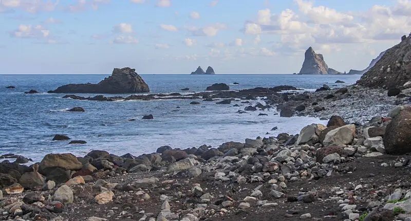
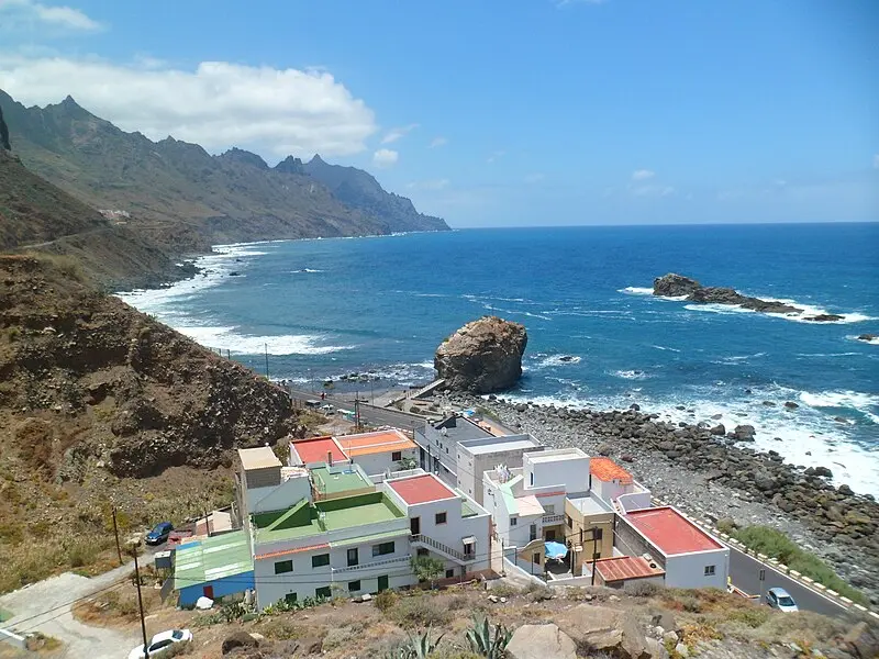
Start with the Sendero de los Sentidos at Cruz del Carmen: short, easy and free. Then the Pico del Inglés and Jardina viewpoints, and the drive down to Taganana, Roque de las Bodegas and Almáciga.
 97
Playa de Almáciga
Santa Cruz
21-24 °C5-9 km/h0.6 mWhole window
 97
Playa de Roque de las Bodegas
Santa Cruz
21-24 °C5-9 km/h0.6 mWhole window
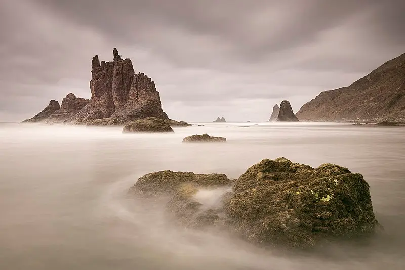
Playa de Benijo
Santa Cruz
Closed to the public
Almáciga and Roque de las Bodegas can close because of rockfall risk, and Benijo has been shut for years: check its page before you go down. Anaga's roads are narrow and winding, and they fill up with cars at weekends: better on a weekday, and early.
La Laguna and Santa Cruz
San Cristóbal de La Laguna has been a World Heritage Site since 1999: it was the first unfortified Spanish colonial city, and its street plan became the model for many cities in the Americas. Explore it on foot, along Calle de la Carrera, past the cathedral and the houses with wooden balconies; at night it's a university town.
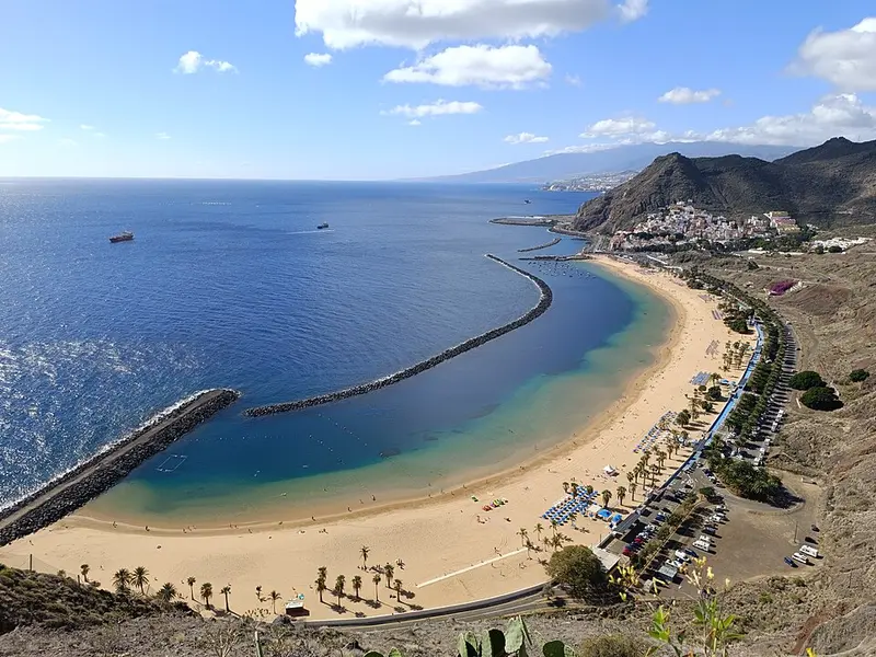
Santa Cruz, the capital, has Calatrava's Auditorio de Tenerife by the sea, García Sanabria park, the Nuestra Señora de África market and, about ten minutes' drive away, Las Teresitas, the golden-sand beach with a breakwater and palm trees.

The Orotava valley and Puerto de la Cruz
La Orotava is the grand old town of the north: steep streets, the Casa de los Balcones and, at Corpus Christi, carpets of flowers and coloured volcanic earth.
Below it, Puerto de la Cruz was the island's first tourist resort. It has Lago Martiánez, seawater pools designed by César Manrique, Playa Jardín, a black-sand beach that also bears his signature, the Botanical Garden, founded in 1788, and Loro Parque.
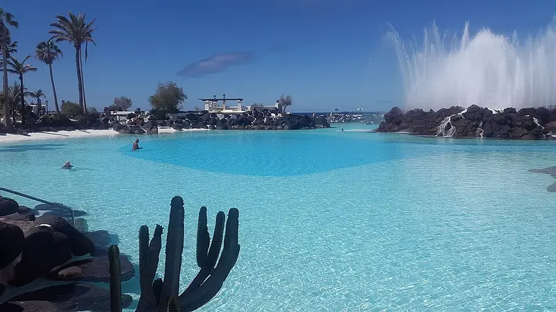 98
Lago Martiánez
Puerto de la Cruz · natural pool
23-25 °C4-7 km/h1.0 mWhole window
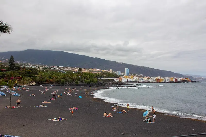 96
Playa Jardín
Puerto de la Cruz
23-25 °C4-7 km/h1.0 mWhole window
Garachico, Icod and the northern charcos
Garachico was the island's richest port until the 1706 eruption buried it in lava. That same lava formed El Caletón, the natural rock pools right by the town.
Icod de los Vinos is home to the Drago Milenario, the most famous dragon tree in the Canaries, in its own park.
This stretch of coast also has some of the island's best charcos, such as Charco de La Laja, in San Juan de la Rambla, and Charco del Viento, in La Guancha.
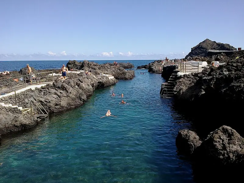 95
El Caletón (Garachico)
Garachico · tide pool
21-24 °C5-11 km/h1.1 mWhole window
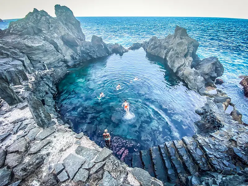 96
Charco de La Laja
San Juan de la Rambla · tide pool
21-24 °C4-7 km/h1.0 mWhole window
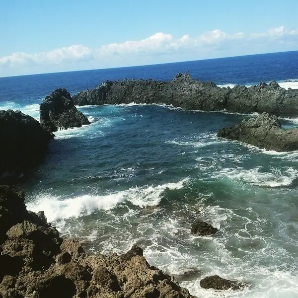 95
Charco del Viento
La Guancha · tide pool
21-24 °C5-11 km/h1.0 mWhole window
Teno, Masca and Los Gigantes
The west is Tenerife at its wildest. Punta de Teno is the island's westernmost point, with its lighthouse and the Los Gigantes cliffs behind. The road is closed to cars much of the time, and you go on bus 369 from Buenavista del Norte.
Masca is a hamlet hanging in a ravine, reached by a dizzying road. The gorge trail down to the sea is downhill only, booked in advance and reached by bus from Santiago del Teide, and you come back by boat.
And Los Gigantes are exactly that: cliffs hundreds of metres high dropping into the sea. They look best from the water, by boat or kayak, and at their foot lies Los Guíos beach.
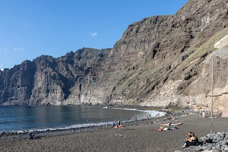 97
Playa de los Guíos
Santiago del Teide
20-24 °C4-6 km/h0.8 mWhole window
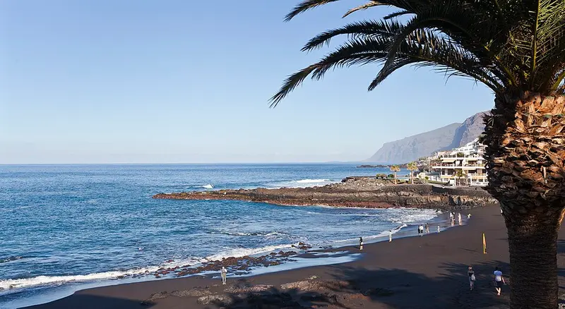 97
Playa de La Arena
Santiago del Teide
20-24 °C4-6 km/h0.8 mWhole window
Pilot whales and bottlenose dolphins live year-round between Tenerife and La Gomera, in a protected marine area, and whale-watching boats leave from Los Gigantes, Puerto Colón and Los Cristianos. In PlayaYa!, the whale-watching plan scores each port's boat trip on wind and sea (never on whether the animals will show up).
The south: beaches, Montaña Roja and Vilaflor
The south is beach Tenerife: Costa Adeje (El Duque, Fañabé, Torviscas), Las Américas and Los Cristianos, with a seafront promenade from end to end and sun almost every day.
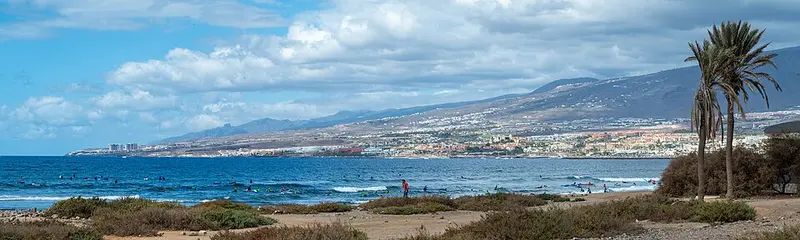 97
Playa del Duque
Adeje
20-25 °C4-8 km/h0.7 mWhole window
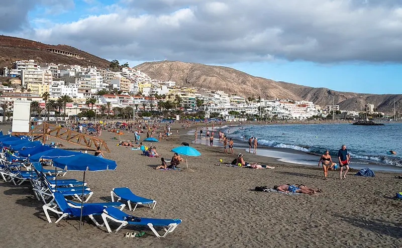 98
Playa de Las Vistas
Arona
20-25 °C0-5 km/h0.8 mWhole window
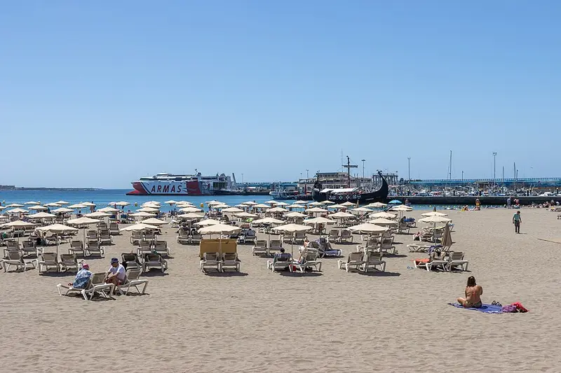 98
Playa de Los Cristianos
Arona
20-25 °C0-5 km/h0.8 mWhole window
Further east, El Médano is the windy town, with windsurfing and kitesurfing, and next to it is Montaña Roja, a nature reserve, with La Tejita at its foot: natural golden sand, long and with no buildings.
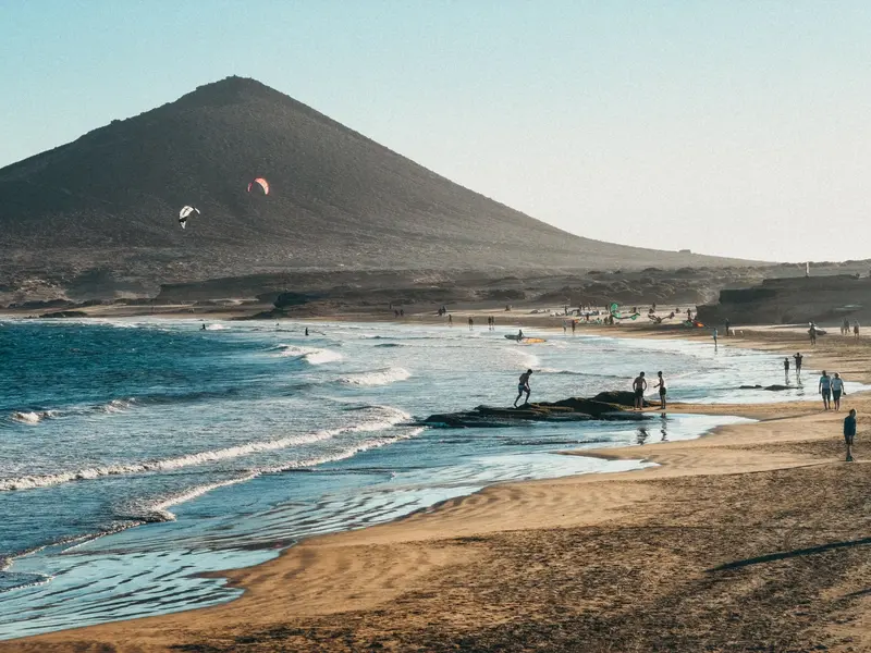 95
Playa El Médano
Granadilla
22-25 °C10-16 km/h0.7 mWhole window
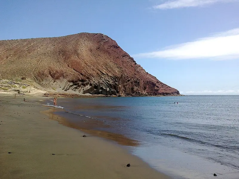 95
Playa de La Tejita
Granadilla
22-25 °C10-16 km/h0.7 mWhole window
And if you fancy going up, Vilaflor, the highest village in the Canary Islands, among pine trees on the way to Teide.
Candelaria and the east coast
Candelaria has the basilica of the patron saint of the Canaries and, facing the sea, the statues of the nine Guanche menceyes (kings). Nearby, in Güímar, are the Güímar pyramids park and Puertito de Güímar, a fishing village with its own beach.
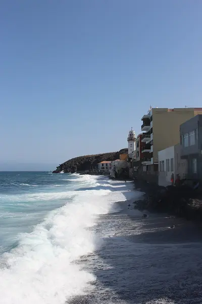 96
Playa de Candelaria
Candelaria
21-24 °C6-13 km/h0.5 mWhole window
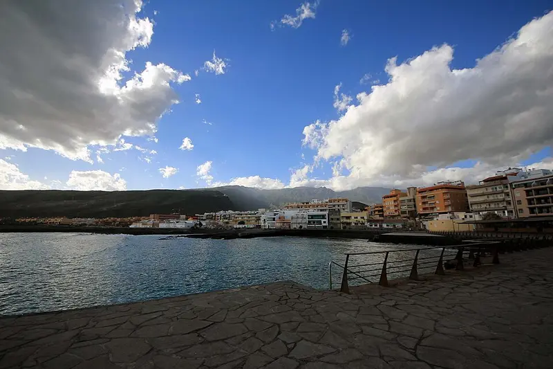 96
Playa El Puertito de Güímar
Güímar
21-24 °C6-13 km/h0.5 mWhole window
How to plan it
- 3 days: Teide, La Laguna and Anaga, plus an afternoon on a beach in the south or west.
- 5 days: add the north (La Orotava, Puerto de la Cruz and Garachico) and Teno or Los Gigantes.
- A week: all of it at an easy pace, a day on a boat and another on La Gomera, less than an hour by ferry from Los Cristianos.
And leave the beach for when you know where the sun is: the island changes from one coast to the other, and today's scores in Tenerife tell you which one it is. If you can't decide between areas, read north or south.

PlayaYa! is a free app for Android and iOS, built by a Canarian, that scores every beach, charco and natural pool in the Canary Islands from 0 to 100, hour by hour: 48 hours ahead, and 72 if you ask.
Which beach? Ask PlayaYa!